About This Race
The 29K course anchors the middle distance in the Trail Alsace Grand Est by UTMB series, offering a substantial challenge without the multi-hour commitment of the longer events. Runners cover 29 kilometers through the distinctive landscape where Alsatian vineyards transition into the forested slopes of the Vosges Mountains, following trails that reflect the region's position along the French-German border. The distance requires deliberate pacing and sustained effort while remaining accessible to runners building endurance or seeking a focused race experience. Obernai provides the race base, a medieval town of half-timbered houses and cobbled streets positioned at the threshold between the Rhine plain and the Vosges massif. The UTMB World Series affiliation ensures international field quality and event infrastructure, though the course remains grounded in Alsace's established trail running culture. Mid-May timing typically offers stable conditions after spring weather clears, with longer daylight hours for this single-day effort. Specific route and elevation details for the 2026 edition await publication. The distance falls between recreational and ultra categories, positioning this event for runners seeking training volume, race experience, or a complete effort in a morning's work through one of France's most culturally distinctive regions.
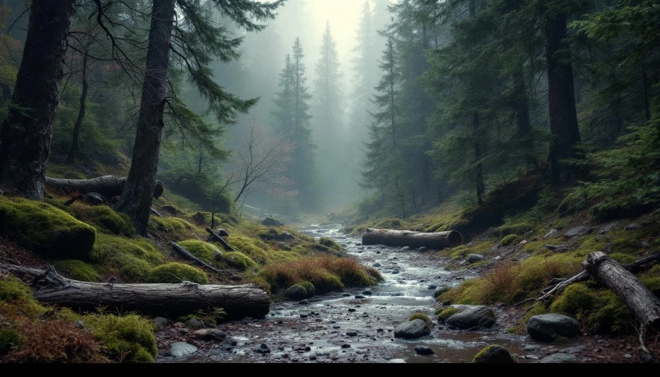
Detailed course information for 2026 has not been released. Historical editions have incorporated Alsace's characteristic terrain: vineyard trails with exposure and views across the Rhine valley, forested ascents into the Vosges foothills, and ridgeline sections that connect the region's wine country to its mountain culture. Runners should anticipate mixed surfaces including dirt trails, forest paths, and potentially brief paved sections through villages, with technical demands typical of managed trail networks rather than wilderness routes.
Elevation Profile
Elevation profile estimated from terrain data. Actual course may differ.
The course gains 63m over 29km, with the steepest section between km 42–km 42.