About This Race
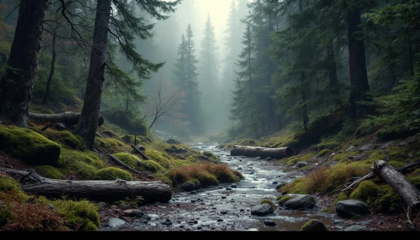
The 109K serves as the flagship ultra distance in the Trail Alsace Grand Est by UTMB series, offering a substantial challenge through the diverse landscapes of France's northeastern borderlands. Starting from the medieval town of Obernai, runners traverse the distinctive mixed terrain of the Vosges foothills and Alsatian vineyards, navigating technical sections that demand careful footwork alongside more runnable passages. The course provides an authentic ultra experience that extends through daylight and into darkness, testing both physical endurance and navigational skills across a region steeped in Franco-German heritage. This distance attracts experienced ultrarunners seeking a serious challenge within the UTMB World Series framework. The 109-kilometer route requires well-developed pacing discipline and self-sufficiency between aid stations, though specific elevation data is not currently available. The extended time on course allows runners to experience the full character of the Alsatian countryside, from sun-drenched vineyard trails to nocturnal forest passages. As part of the UTMB World Series, this race offers qualifying points for runners building toward larger events in the circuit. The Obernai base provides cultural immersion beyond the race itself, with traditional Alsatian architecture and regional cuisine forming part of the weekend experience.
The route departs from Obernai, a well-preserved medieval town that serves as the cultural and logistical hub for the event. Runners encounter the characteristic mixed terrain of the region, where maintained trails alternate with more technical sections requiring focused attention. The course weaves through areas marked by centuries of European history, though specific routing details and aid station locations have not been published.
The distance and terrain combination necessitates headlamp use for most runners, as finishing times will extend well beyond daylight hours. Course marking follows UTMB World Series standards, with clear waymarking throughout the route.
Elevation Profile
Elevation profile estimated from terrain data. Actual course may differ.
The course gains 565m over 109km, with the steepest section between km 109–km 109.
Location
Practical Info
Mid-May in Alsace typically brings mild to warm temperatures during daylight hours (15-22°C), with cooler conditions overnight. Spring weather can be variable, with possibilities ranging from clear skies to rain showers.
Obernai offers a range of lodging from traditional hotels to vacation rentals, with the town serving as a tourist destination beyond race weekends. Early booking is recommended given the UTMB series draw and the town's manageable size. Strasbourg, 30 kilometers north, provides additional accommodation options with direct train connections.