About This Race
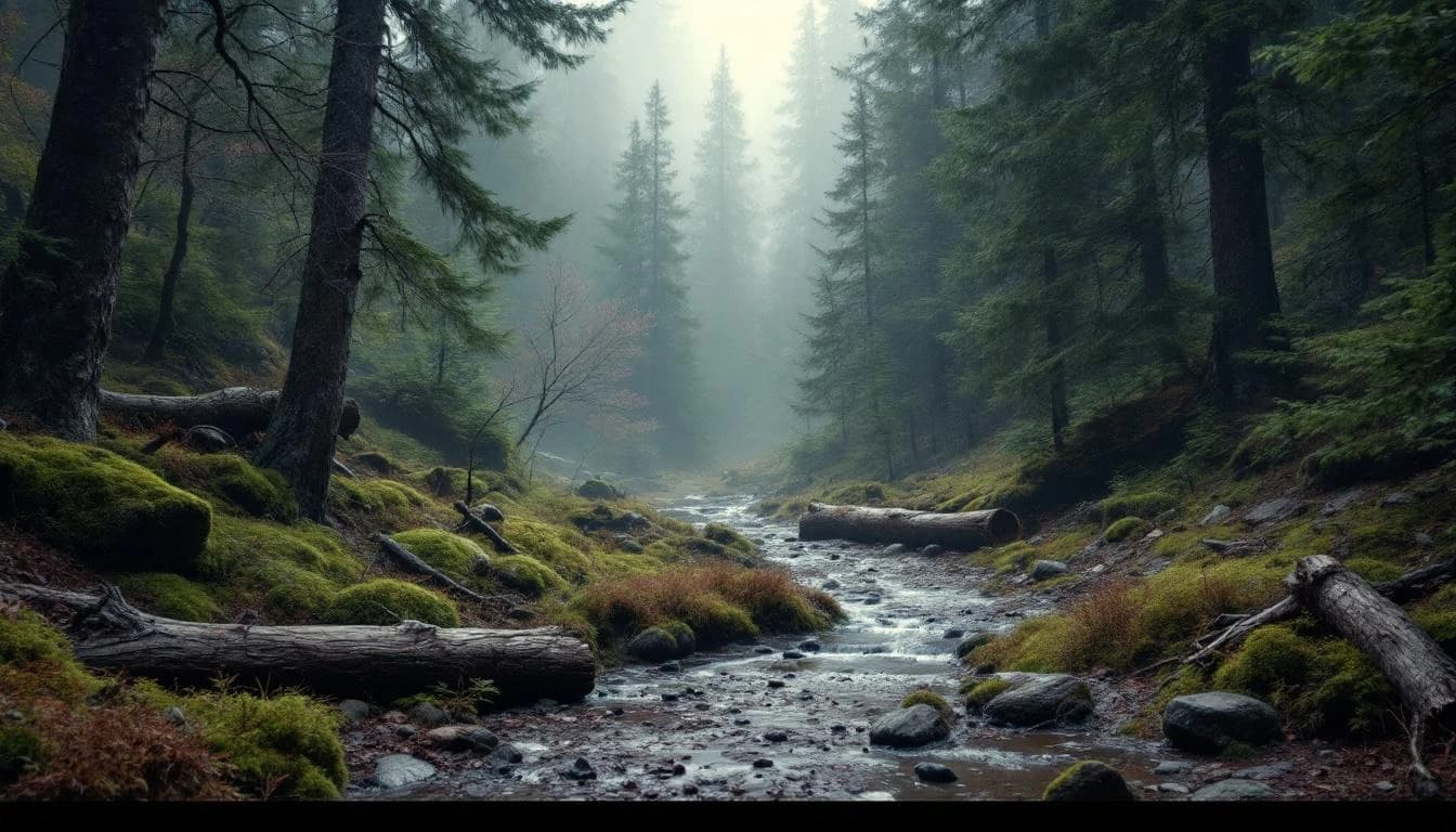
Despite its shorter distance, this 10.5-kilometer course packs substantial elevation gain that provides a concentrated challenge. The Trail des Ecuyers offers an intense but brief introduction to the region's terrain character.
Despite its shorter distance, this 10.5-kilometer course packs substantial elevation gain that provides a concentrated challenge. The Trail des Ecuyers offers an intense but brief introduction to the region's terrain character.
Location
Notable Features
This UTMB World Series event uniquely combines trail running with cultural immersion, taking runners through Alsace's historic landscape of castles and vineyards. The themed race names honor the region's rich medieval heritage, while the courses showcase the distinctive Franco-German character of this border region. As part of the UTMB World Series, finishers earn Running Stones that count toward qualification for the prestigious UTMB Mont-Blanc.