About This Race
The Trail Alsace Grand Est by UTMB 156K represents the marquee distance in this UTMB World Series event, tracing a demanding route through the Vosges Mountains and Alsatian wine country from the medieval town of Obernai. At nearly 100 miles, this ultra-distance challenge requires runners to maintain composure and discipline through a full day and night on course, navigating the region's distinctive sandstone formations, forest trails, and vineyard paths that characterize the Grand Est landscape. The race typically unfolds over 24-30 hours for most finishers, demanding sophisticated pacing strategies and self-sufficiency between aid stations. Runners experience the complete transformation from daylight through darkness and back again, managing nutrition, fatigue, and technical terrain while the course reveals both the agricultural valleys and forested ridges that define this corner of northeastern France. The UTMB designation brings international-level organization and competition to a region perhaps better known for wine than vertical gain. This distance serves runners seeking UTMB Mont-Blanc qualifying points or those drawn to multi-day efforts in less alpine but equally demanding terrain. The spring timing means variable conditions, and the cultural richness of Alsace—with its Germanic influences, half-timbered villages, and renowned gastronomy—provides compelling reasons to extend your visit beyond race weekend.
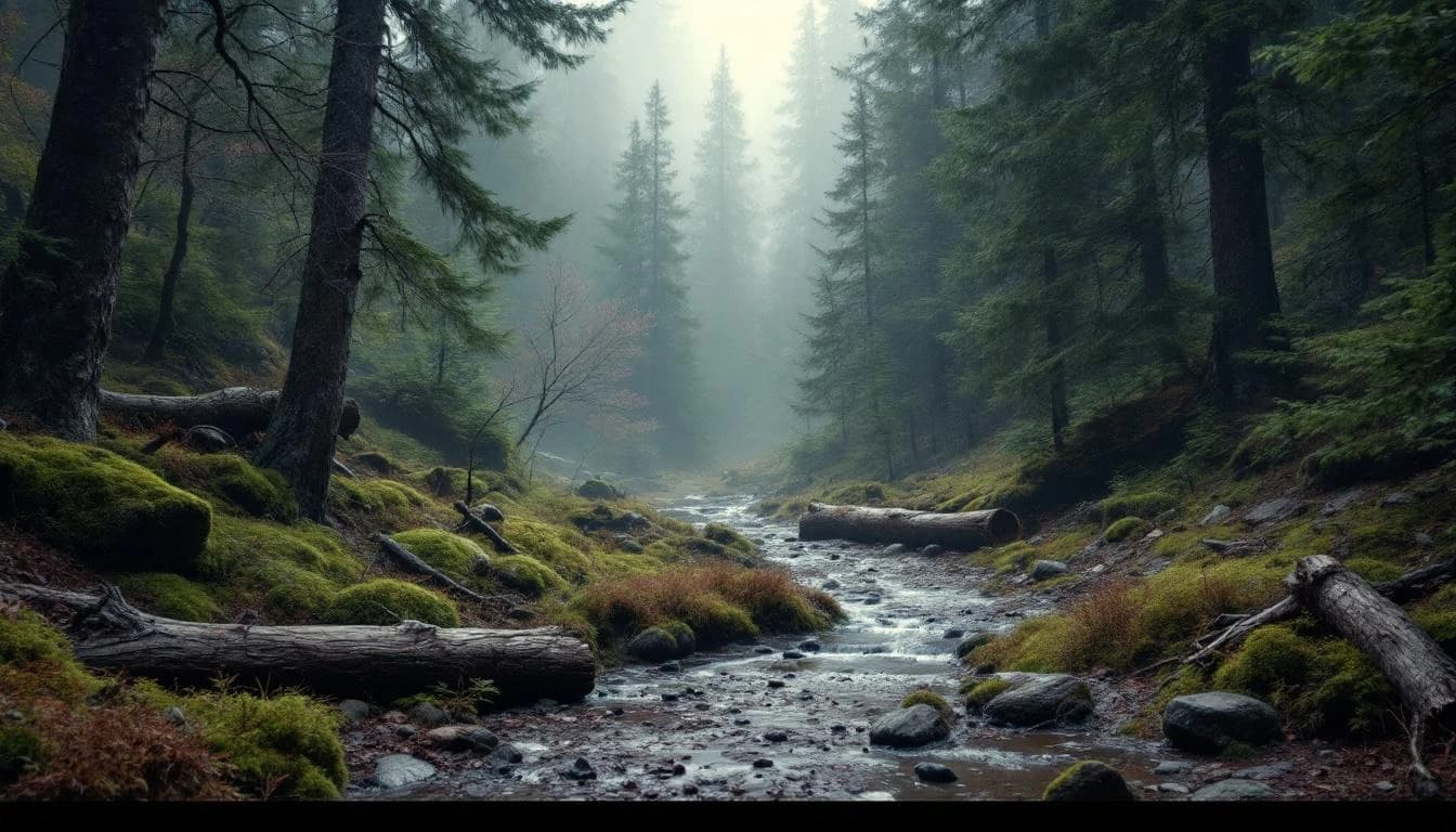
The 156K course departs from Obernai, a town that has preserved its medieval fortifications and serves as gateway to the Alsace Wine Route. Runners traverse mixed terrain including forest singletrack through the Vosges foothills, fire roads connecting ridge systems, and vineyard trails that occasionally open to views across the Rhine plain toward Germany's Black Forest. The route's character shifts between technical wooded sections requiring careful footing and more runnable passages through agricultural landscapes, with navigation supported by UTMB's standard marking protocols.
Elevation Profile
Elevation profile estimated from terrain data. Actual course may differ.
The course gains 641m over 156km, with the steepest section between km 116–km 116.
Location
Practical Info
Mid-May in Alsace brings moderate temperatures ranging from 10-20°C (50-68°F), though conditions vary significantly from valley to ridge. Rain is common in spring, and overnight temperatures can drop considerably. Runners should prepare for potential wet conditions and pack layers for night running.
Obernai offers hotels and guesthouses ranging from budget to boutique, with the town's proximity to Strasbourg (30km) providing additional lodging options. Many runners choose to stay in the medieval center for walkable access to race facilities. Book well ahead, as the town is popular with tourists exploring the Alsace Wine Route.
Best For
Notable Features
This race occupies an interesting position in the European ultra calendar—a UTMB World Series event in a region celebrated more for Riesling than ridge running. The Grand Est's sandstone geology creates distinctive red-rock trail features rarely seen elsewhere in France, while the route's passage through villages offers cultural immersion absent from higher-altitude alpine events. The spring date means runners may encounter everything from warm valley sun to cold ridgeline rain, and the finish back in Obernai's historic center provides a civilized conclusion to an uncivilized effort.