About This Race
Oh Meu Deus by UTMB brings the organization's hallmark production standards to Portugal's Arouca Geopark, a UNESCO-recognized landscape of ancient schist villages and dramatic river valleys. The 50K distance serves as the mid-range offering in the event's portfolio, attracting runners who want a genuine ultra experience without the extreme commitment of longer mountain races. The race name—Portuguese for "Oh My God"—hints at the terrain's character, though the course balances challenge with accessibility for runners making their first ultra attempt. The region's schist trails, traditional stone pathways that have connected villages for centuries, form the backbone of the route. These technical surfaces demand attention and reward careful foot placement, particularly when wet. The race takes place in late spring when the Arouca region typically sees mild temperatures and settled weather, making for favorable running conditions through the valley ecosystems. As part of the UTMB World Series, the event provides the organizational infrastructure and international field that define the brand, while maintaining a distinctly Portuguese character through the villages and landscapes runners traverse. The 50K distance offers UTMB Index points for runners building toward qualification for larger events in the series.
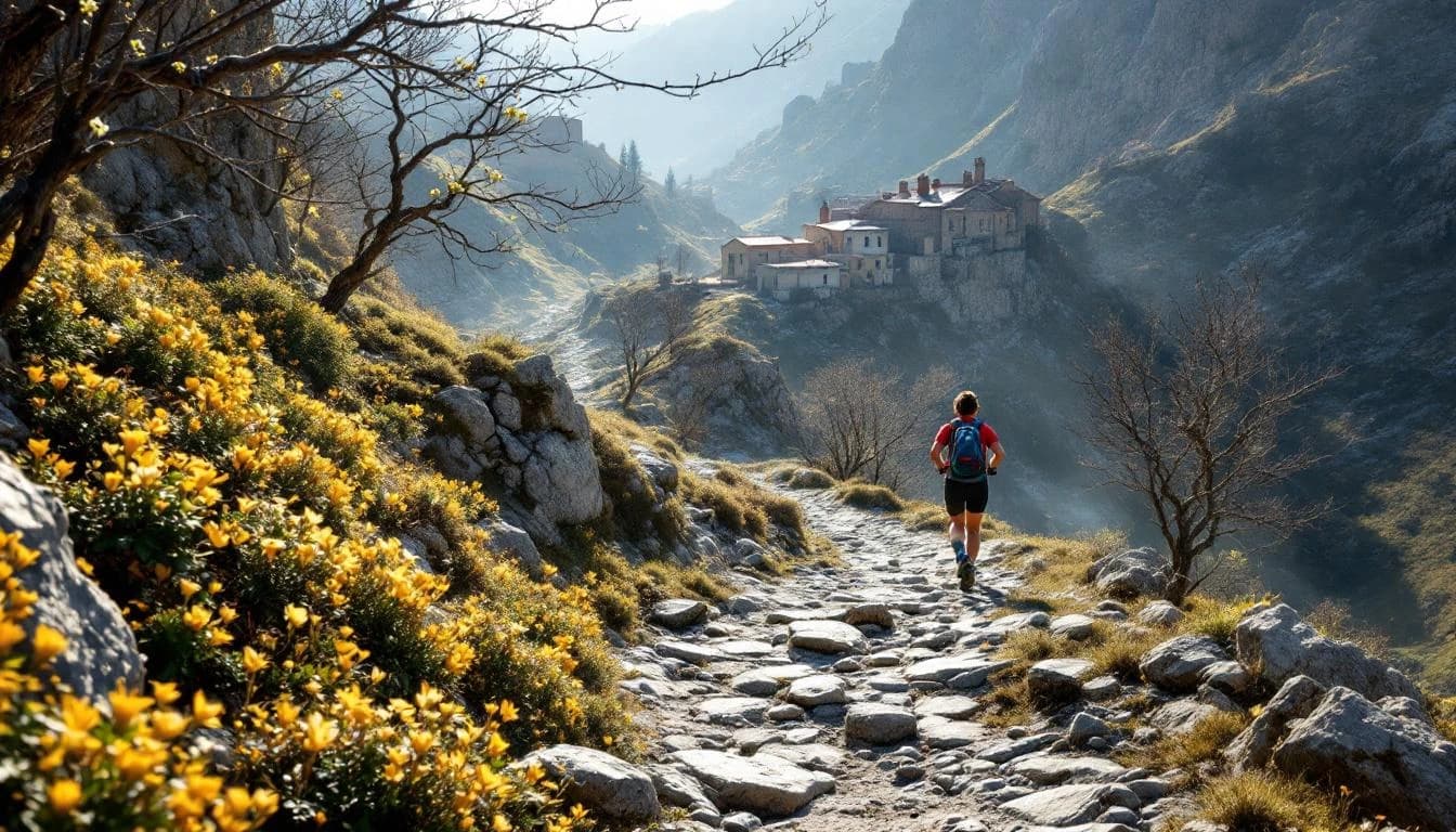
The route winds through the Arouca Geopark, following traditional schist paths that connect mountain villages across the protected landscape. These ancient stone trails, built to link communities before modern roads, provide technical footing that requires continuous attention. Runners pass through settlements where stone architecture reflects centuries of mountain living, with the course threading between cultivated terraces and wild valley sections.
The mixed terrain designation reflects the combination of these technical schist paths with occasional dirt roads and valley trails. Water crossings and stream sections are possible depending on spring rainfall. Without specific elevation data available, the precise vertical challenge remains unconfirmed, though the geopark's topography inherently involves continuous terrain variation.
Elevation Profile
Elevation profile estimated from terrain data. Actual course may differ.
The course gains 1,695m over 50km, with the steepest section between km 20–km 21.
Location
Practical Info
Late spring conditions in northern Portugal typically bring mild temperatures ranging from 10-20°C (50-68°F), with decreasing rainfall as the region transitions from wet spring to drier summer. Morning fog in valleys is possible, clearing to partly cloudy afternoons.
Arouca town serves as the logical base, offering hotels and guesthouses within the small mountain community. Porto, Portugal's second city, lies approximately 70 kilometers north and provides extensive accommodation options plus international airport access for traveling runners.
Best For
Notable Features
The race provides access to the Arouca Geopark, a UNESCO Global Geopark where geological formations dating back 500 million years shape the landscape runners traverse. The schist villages along the route represent a fading way of mountain life, with stone structures and terraced agriculture that have persisted for generations. As a UTMB World Series event, the race brings international-level organization and timing to a region that sees relatively few major trail races, creating an opportunity to explore Portuguese mountain culture within a familiar competitive framework.