About This Race
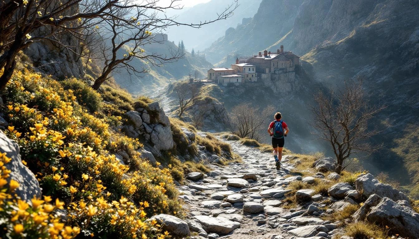
The 22K distance serves as an accessible gateway to the Oh Meu Deus experience, perfect for runners new to Portuguese mountain trails. This route maintains the event's authentic character while providing a manageable introduction to the region's terrain and culture. Runners can focus on technique and enjoy the schist village atmosphere without the demands of ultra distances.
The 22K distance serves as an accessible gateway to the Oh Meu Deus experience, perfect for runners new to Portuguese mountain trails. This route maintains the event's authentic character while providing a manageable introduction to the region's terrain and culture. Runners can focus on technique and enjoy the schist village atmosphere without the demands of ultra distances.
Elevation Profile
Elevation profile estimated from terrain data. Actual course may differ.
The course gains 1,004m over 22km, with the steepest section between km 33–km 33.
Location
Notable Features
This UTMB World Series event uniquely combines trail running with cultural immersion through Portugal's schist villages and historic mountain communities. The race supports regional recovery efforts following wildfire damage, making each participant part of a broader story of community resilience and renewal.