About This Race
The Eiger Ultra Trail 101K serves as the flagship middle-distance race in the UTMB World Series event held in Switzerland's Bernese Oberland. Set against the iconic North Face of the Eiger, this course threads through the high alpine terrain surrounding Grindelwald, moving through terrain that ranges from forested valleys to exposed mountain passages. The route typically draws runners with solid ultra experience who want a significant mountain challenge without the multi-day commitment of longer UTMB distances. As part of the UTMB World Series, the race follows the organization's established standards for course marking, aid station support, and live tracking. Runners navigate the technical demands of alpine trails while managing elevation changes that test both climbing efficiency and descent control. The July timing places the race during the height of summer in the Swiss Alps, when trails are generally clear of snow but alpine weather remains variable. The 101K distance sits in a practical middle ground for mountain ultra runners—long enough to require thoughtful pacing and nutritional planning, but manageable within a typical training cycle for those with previous 50K or 100K experience. The Eiger region provides sustained immersion in high mountain terrain without requiring the overnight running that defines the event's longer distances.
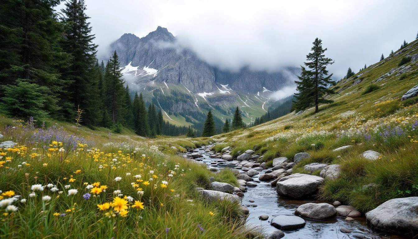
The route explores the trail network surrounding Grindelwald, moving through multiple valleys and alpine zones in the Jungfrau region. Runners encounter the characteristic features of Swiss mountain trails: well-maintained but steep switchbacks, occasional technical sections across scree or root systems, and passages through high alpine meadows. The course typically includes sections with views of the Eiger, Mönch, and Jungfrau peaks, though weather conditions in the mountains can limit visibility.
Aid stations follow UTMB standards, positioned at strategic intervals with both nutrition and staffing designed for mountain ultra distances. The mixed terrain requires versatile mountain running skills—comfortable descending on technical surfaces, efficient climbing on sustained grades, and the ability to adjust pacing across varied footing throughout the distance.
Elevation Profile
Elevation profile estimated from terrain data. Actual course may differ.
The course gains 3,984m over 101km, with the steepest section between km 250–km 250.
Location
Practical Info
July brings summer conditions to the Swiss Alps, with daytime temperatures ranging from cool at higher elevations to warm in valleys. Mountain weather can change rapidly, with afternoon thunderstorms possible. Runners should prepare for both sun exposure and sudden temperature drops.
ZUR - Zurich Airport
Grindelwald offers extensive lodging options ranging from hotels to mountain hostels, given its status as a major alpine tourism center. The village is accessible by train from Interlaken and provides good infrastructure for race week logistics. Book accommodations well in advance, as the UTMB event draws international participants and coincides with peak summer tourism season.
Best For
Notable Features
The Eiger Ultra Trail benefits from its position within the UTMB World Series, bringing the organization's operational standards and international field to one of Switzerland's most recognizable mountain settings. The race takes place in terrain that has defined alpine mountaineering history, with the event's infrastructure built around Grindelwald's established trail network and mountain tourism resources. The July date allows the event to showcase the Bernese Oberland during peak summer conditions, when the high alpine zones are most accessible to trail runners.