About This Race
The original 100-mile trail race and still the standard by which all others are measured. A point-to-point journey from Squaw Valley to Auburn through the canyons of California's Sierra Nevada, with 18,000 feet of climbing and temperatures that can exceed 100°F in the river gorges.
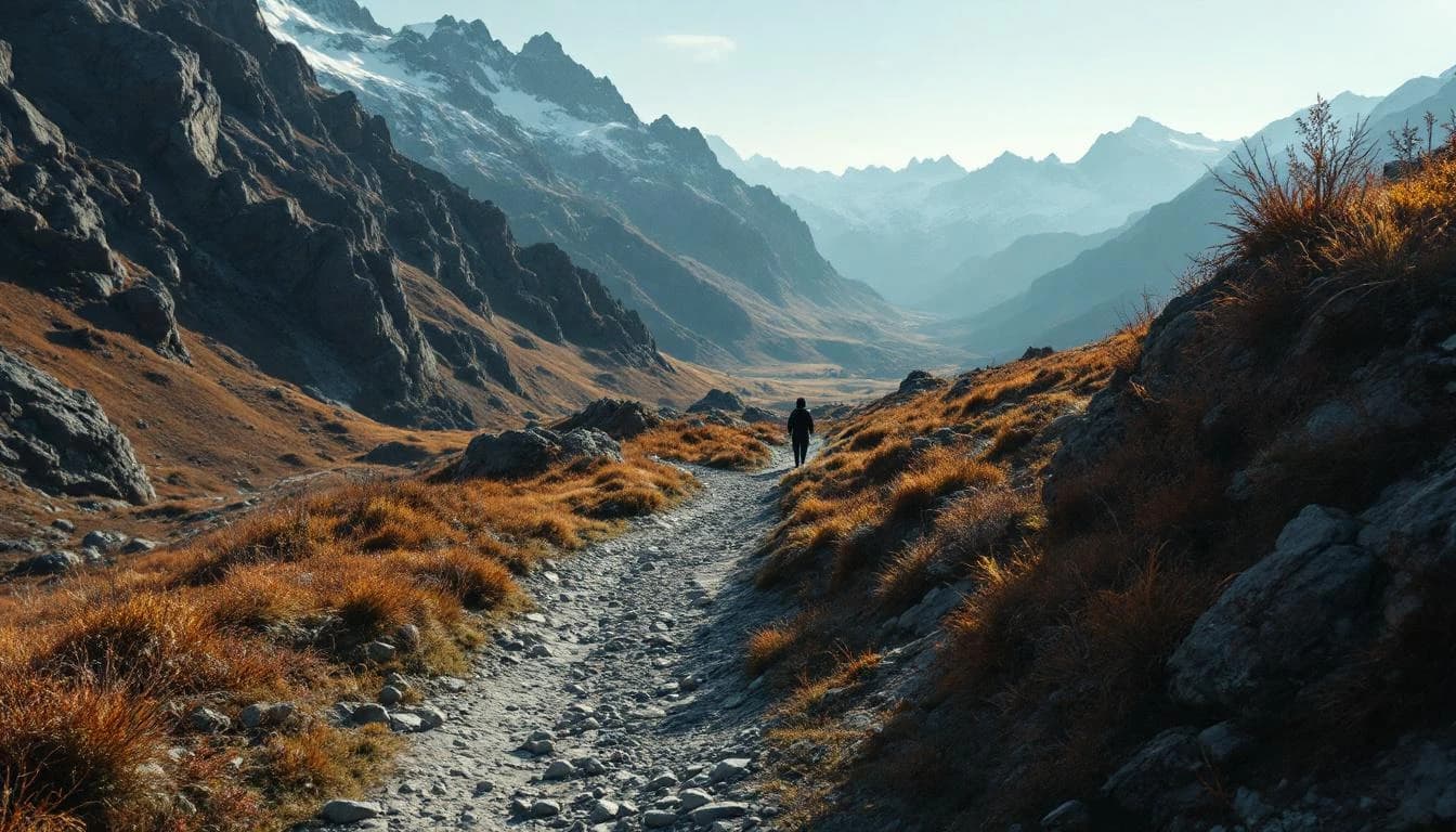
The course begins at the base of Palisades Tahoe (formerly Squaw Valley) with an immediate 2,500-foot climb to Emigrant Pass at 8,750 feet — the highest point on the course and a rude awakening at mile 4. From there, the route follows the Western States Trail through the granite high country before beginning a long, relentless descent into the American River canyons. By the time you reach the river crossings at Rucky Chucky (mile 78), you’ve dropped nearly 7,000 feet from the high point. The final 22 miles from the river to the Placer High School track in Auburn are a mix of exposed canyon trail and rolling singletrack, often run in the dark and in searing heat that radiates off the canyon walls. The course rewards patient runners who respect the heat and manage their effort through the long middle miles. The canyons are beautiful and unforgiving in equal measure.
Elevation Profile
The course gains 18,045 ft over 100 miles, with the steepest section between mile 0–mile 2.
Course Map
Route shown is approximate and for illustration purposes.
Aid Stations
6 stations along the course
Lyon Ridge
water, electrolyte, gels, fruit
Red Star Ridge
water, electrolyte, gels, fruit, soup
Robinson Flat
full aid, medical, weigh-in
10h 30m cutoff
Major crew access point. Weigh-in station.
Foresthill
full aid, medical, weigh-in, ice
20h 30m cutoff
The big crew access point. Many pacers start here.
Rucky Chucky (river crossing)
water, safety boats
24h 30m cutoff
Waist-deep river crossing. Safety boats on standby.
Highway 49
water, electrolyte, ice, fruit
28h 30m cutoff
Last crew point before the finish.
Race History
2024 Results
Starters
Finishers
Winning Time
Median Time
Practical Info
Hot. Expect 90–105°F in the canyons, cooler at altitude. Snow is possible at the start. Dramatic temperature swings from high country to canyon floor.
Sacramento (SMF)
Olympic Valley has resort lodging. Auburn has standard hotels. Many runners camp or stay in Airbnbs in the area. Book early — the race weekend draws a large crowd.
- headlamp
- reflective vest
- 10oz minimum fluid capacity
Best For
Notable Features
River crossing at Rucky Chucky, Placer High School track finish, lottery entry system with escalating odds
Prepare for This Race
RACE PREPARATION
Racing Western States: The Complete Preparation Guide
Everything you need to prepare for the Western States 100 — course strategy, essential gear, heat training, crew logistics, and what first-timers need to know.
7 min read
GEAR GUIDE
The Best Hydration Vests for Ultrarunning in 2026
A tested guide to the best hydration vests for ultra marathons and long trail races — from lightweight racing vests to high-capacity mountain packs.
6 min read
RACE GUIDE
The Hardest 100-Mile Races in the World
A look at the 100-mile races that push even the strongest ultra runners to their limits — what makes them brutal, and what draws people back.
3 min read
RACE PREPARATION
Racing Western States: The Complete Preparation Guide
Everything you need to prepare for the Western States 100 — course strategy, essential gear, heat training, crew logistics, and what first-timers need to know.
GEAR GUIDE
The Best Hydration Vests for Ultrarunning in 2026
A tested guide to the best hydration vests for ultra marathons and long trail races — from lightweight racing vests to high-capacity mountain packs.
RACE GUIDE
The Hardest 100-Mile Races in the World
A look at the 100-mile races that push even the strongest ultra runners to their limits — what makes them brutal, and what draws people back.