About This Race
The Canyons 50K serves as the gateway distance into the UTMB World Series event held on California's storied Western States Trail. Starting from Auburn, runners follow sections of the historic route that has tested endurance athletes for decades, including technical singletrack through Sierra Nevada foothills and the iconic river crossing that adds both challenge and spectacle to the experience. The distance provides enough trail to engage with the landscape's character without the extreme duration of the longer ultra options. This race draws runners making their first venture beyond marathon distance alongside experienced trail runners seeking a faster effort on technical terrain. The course requires confident footwork on rocky, root-laced singletrack and the ability to manage variable pace across changing elevation profiles. As part of the UTMB World Series, the event brings international-level organization and energy while maintaining the intimate connection to Western States history that makes this stretch of trail significant in American ultrarunning culture. The April timing catches the Sierra foothills in their greenest season, when winter rains have passed but summer heat hasn't yet arrived. Runners experience the trail system that serves as training ground for countless California trail athletes, with aid station support and course marking that reflect UTMB's global event standards applied to a uniquely Californian landscape.
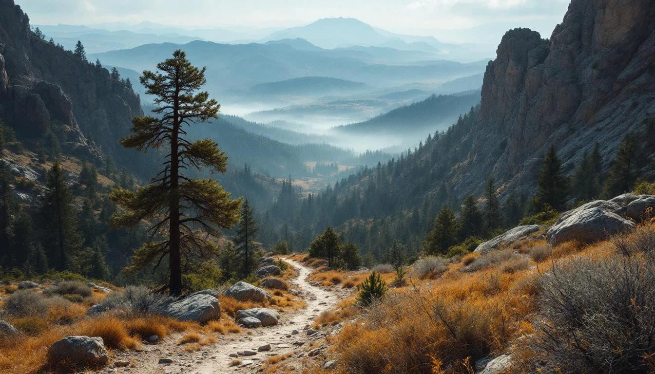
The 50K route covers approximately 31 miles of the Western States Trail system, characterized by technical singletrack that demands attention to foot placement. Rocky sections and exposed roots require consistent focus, while the crossing of the Middle Fork American River provides a memorable mid-race feature that can involve wading depending on seasonal flow levels. The course strings together single-track segments used by Western States 100 competitors, offering runners a taste of that legendary route's technical character in a more compressed format.
Elevation Profile
Elevation profile estimated from terrain data. Actual course may differ.
The course gains 2,343 ft over 31 miles, with the steepest section between mile 29–mile 30.
Location
Practical Info
Late April in the Sierra foothills typically brings mild temperatures ranging from the 40s to 60s Fahrenheit, with occasional spring rain possible but less likely than earlier in the season.
SMF - Sacramento International Airport
Auburn offers a range of lodging options from budget motels to historic inns, with many runners staying within walking distance of the start area. Sacramento, 35 miles west, provides additional hotel inventory and airport access for traveling participants.