About This Race
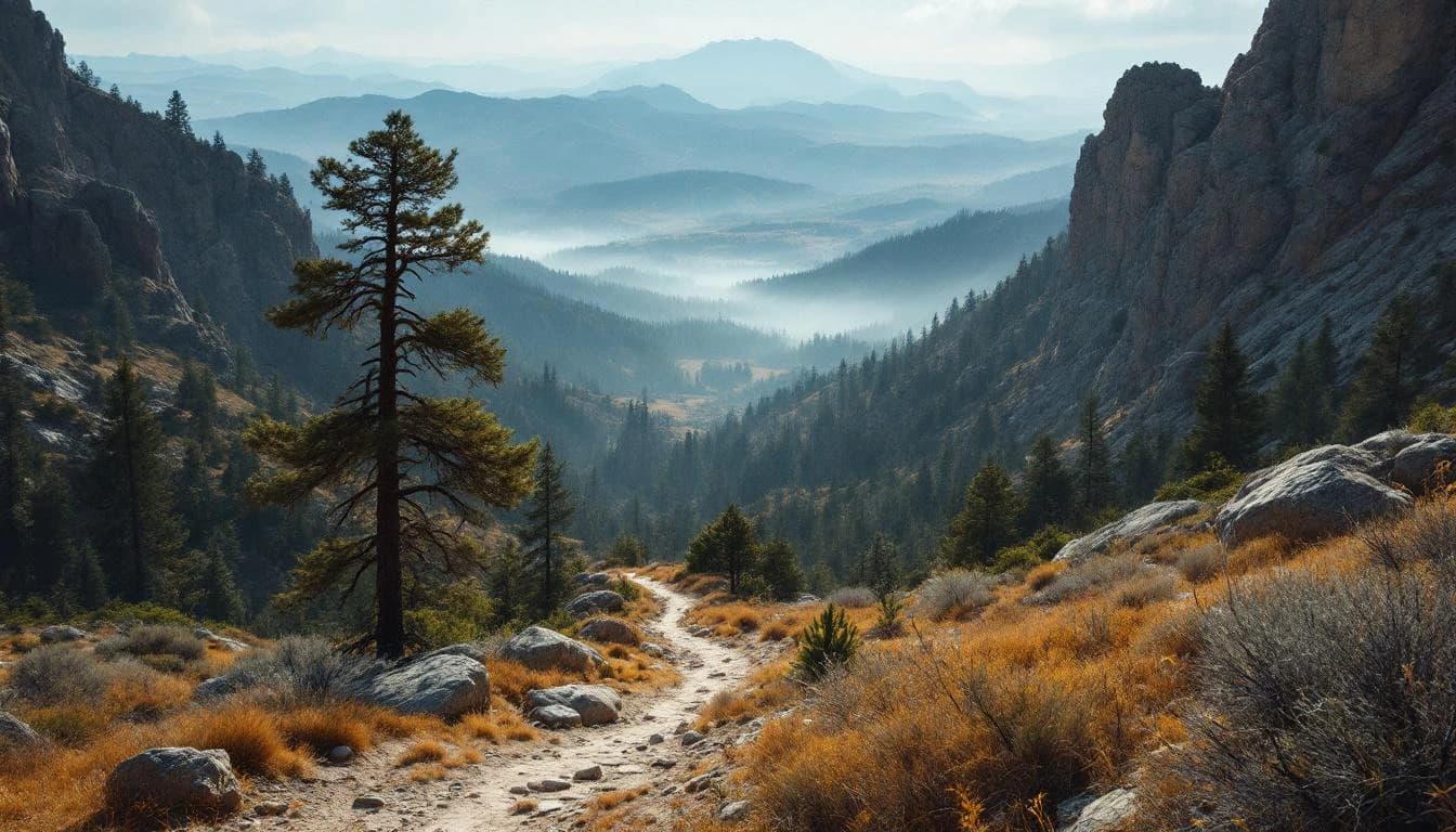
The Canyons 100 Mile follows the Western States Trail through the Sierra Nevada foothills east of Auburn, offering runners a chance to test themselves on one of ultrarunning's most storied courses. This UTMB Index Race traverses rugged gold rush country, moving through oak woodlands, river canyons, and exposed ridgelines where temperatures can swing 40 degrees between night and midday. The 30-hour cutoff demands efficient pacing and disciplined fueling strategy. Runners face technical singletrack, sustained climbs, and loose descents that require focused footwork even as fatigue accumulates. Night navigation skills are essential, as most runners will spend significant time on trail after dark. This is a proving ground for experienced ultrarunners, many using it as preparation for Western States or to earn UTMB Index points. The course demands respect: strong technical skills, practiced aid station efficiency, and the mental toolkit to manage low points across a long day and night in the mountains.
The route follows much of the Western States Trail, starting and finishing in Auburn. Runners navigate varied terrain including narrow singletrack through oak and pine forests, exposed fire roads with limited shade, and technical sections along river canyons. The course is well-marked but requires attention, particularly during night hours when familiar trails can feel disorienting.
Elevation Profile
Elevation profile estimated from terrain data. Actual course may differ.
The course gains 5,968 ft over 100 miles, with the steepest section between mile 136–mile 136.
Location
Practical Info
Late April in the Sierra foothills typically brings mild to warm days (60-75°F) with cool nights (40-50°F). Conditions can vary significantly with elevation changes. Rain is possible but less common than earlier in spring. Runners should prepare for sun exposure on open sections and potentially muddy conditions if recent rain has occurred.
SMF - Sacramento International Airport
Auburn offers hotels and vacation rentals within minutes of the race start. Nevada City and Grass Valley, 25 miles north, provide additional lodging options. Early booking is recommended as this race weekend draws runners and crews from across the country.
Best For
Notable Features
The Canyons 100 Mile offers access to the legendary Western States Trail without the lottery, making it valuable for runners seeking to experience this historic course or prepare for the Western States 100. As a UTMB Index Race, it provides qualifying points for runners targeting events in the UTMB World Series. The race organization brings UTMB's international standards to California's gold country, with well-stocked aid stations and experienced course support throughout the long day and night.