About This Race
A 31 miles mixed-terrain run, Ashover, Derbyshire, with 295 meters of elevation gain.
Elevation Profile
Elevation profile estimated from terrain data. Actual course may differ.
The course gains 295m over 50km, with the steepest section between km 49–km 49.
Location
Notable Features
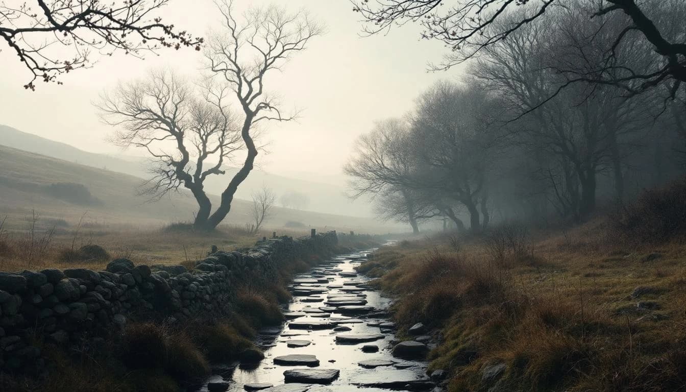
The Amberaid follows a figure-8 route design through the Amber Valley, offering runners extensive woodland trails and rural countryside paths. The event's navigation-focused approach provides GPX files and route notes while keeping most sections unmarked, appealing to runners who enjoy the challenge of route finding. With comprehensive checkpoint support and a fallback option allowing Amberaid runners to switch to the shorter Petit Raid distance if needed, the event balances adventure with safety.