Trail running course near Kenting, TW
Xtrail Kenting by UTMB

Xtrail Kenting by UTMB 26K

26K·Kenting
mountaintechnicaltrailcoastalqualifier

AI-generated image

Distance26K
DateMar 2026
Difficulty3/5

Registration is closed for Xtrail Kenting by UTMB 26K

Get alerted if spots open up or when next year's registration goes live.

About This Race

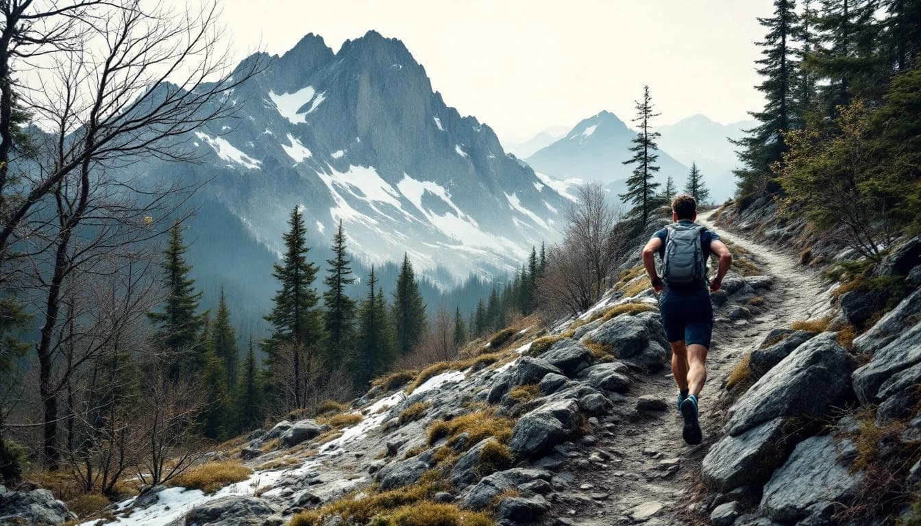
The 26K at Xtrail Kenting by UTMB sits at the intersection of accessibility and legitimate challenge. Set on Taiwan's Hengchun Peninsula, this distance delivers a proper encounter with tropical trail running without the multi-hour grind of the ultra categories. Runners navigate mixed terrain through transitioning ecosystems—dense forest canopy giving way to exposed grasslands and technical rocky sections—all under conditions that test heat management as much as fitness. This is middle-distance trail running with consequences. The humidity here doesn't just slow you down; it forces constant attention to hydration strategy and pacing discipline. Yet at 26 kilometers, the course remains within reach for runners with solid trail experience, offering a legitimate gateway into Taiwan's demanding mountain environments or serving as a hard effort for those tuning fitness before longer objectives.

The route explores the ecological diversity of Kenting National Park, Taiwan's oldest protected area where monsoon forests meet coral limestone formations. Expect technical footing on roots and rock, brief punchy climbs through shaded sections, and exposed stretches where the subtropical sun hits hard. The mixed terrain keeps runners engaged—smooth running rarely lasts long before the next technical demand.

Location

Practical Info

Weather

March brings warm, humid conditions with temperatures typically 22-28°C (72-82°F). Some cloud cover possible but expect direct sun exposure on open sections.

Accommodation

Kenting offers extensive tourist infrastructure with hotels, guesthouses, and hostels clustered around Kenting Street. Book early during race weekend, as the area draws both runners and regular tourism.

Best For

experienced trail runnersheat-adapted runnersadventure seekers

Other Distances at This Event

2K

10m gain

A gentle introduction to trail running designed for families and young runners. The minimal elevation and short distance make this perfect for experiencing the event community while keeping things fun and accessible.

11K

The 11K route showcases Kenting's diverse landscape within a compact distance. Runners move between different environments as the course winds through sections of coastal trail and shaded forest paths. The mixed terrain demands attention to footing while remaining approachable for those with solid fitness but limited technical trail experience. Kenting's tropical location means humidity remains a constant factor, particularly as the morning sun gains strength. The varied terrain provides natural rhythm changes, though specific elevation details are not published for this distance. Coastal sections may offer ocean breezes, while forested stretches provide welcome shade.

50K

The route explores the Hengchun Peninsula's diverse geography, beginning near the coast and working inland through multiple terrain zones. Runners encounter coastal sections with ocean views, transition through agricultural lowlands, and push into forested mountain terrain as the course gains elevation. The mixed surface includes established trails, occasional technical sections, and stretches of more runnable terrain. Navigation follows marked routes through Kenting National Park's southern reaches, where tropical vegetation and geological features create varied running conditions throughout the distance.

98K

The 98K route traverses the length of Kenting National Park, linking coastal sections with inland trails through protected forest and agricultural areas. Runners encounter mixed terrain that shifts from maintained park paths to more technical singletrack, with sustained sections along exposed ridgelines offering views across the peninsula. The course connects multiple ecosystems characteristic of Taiwan's southern lowlands, from wind-sculpted coastal vegetation to tropical broadleaf forest. Tropical conditions persist throughout the course, with limited shade on exposed coastal segments where wind exposure varies with weather patterns. The mixed terrain requires adaptable pacing, and multiple aid stations support runners through the extended distance. Navigation follows marked trails through the national park system, though runners should expect tropical trail conditions including humidity-softened surfaces and variable footing.