About This Race
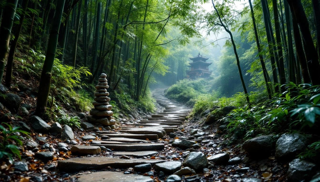
A scenic introduction to Moganshan's trail network that offers a taste of the region's bamboo forests and cultural heritage. Perfect for runners new to mountain trails or those seeking a shorter challenge in this distinctive landscape.
A scenic introduction to Moganshan's trail network that offers a taste of the region's bamboo forests and cultural heritage. Perfect for runners new to mountain trails or those seeking a shorter challenge in this distinctive landscape.
Location
Notable Features
This UTMB World Series event stands out for its integration of ancient Chinese sword-forging culture with challenging mountain terrain. The courses wind through distinctive emerald bamboo forests and cascading tea terraces, offering a uniquely Asian trail running experience that combines natural beauty with deep historical significance.