About This Race
This challenging route covers approximately 37 miles with around 10,000 feet of ascent, though exact distances vary based on individual route choices. Runners must navigate between the summits of Helvellyn, Scafell Pike, and Coniston Old Man, requiring advanced fell running experience and strong navigation skills across some of the Lake District's most demanding terrain.
This challenging route covers approximately 37 miles with around 10,000 feet of ascent, though exact distances vary based on individual route choices. Runners must navigate between the summits of Helvellyn, Scafell Pike, and Coniston Old Man, requiring advanced fell running experience and strong navigation skills across some of the Lake District's most demanding terrain.
Elevation Profile
The course gains 602m over 60km, with the steepest section between km 27–km 27.
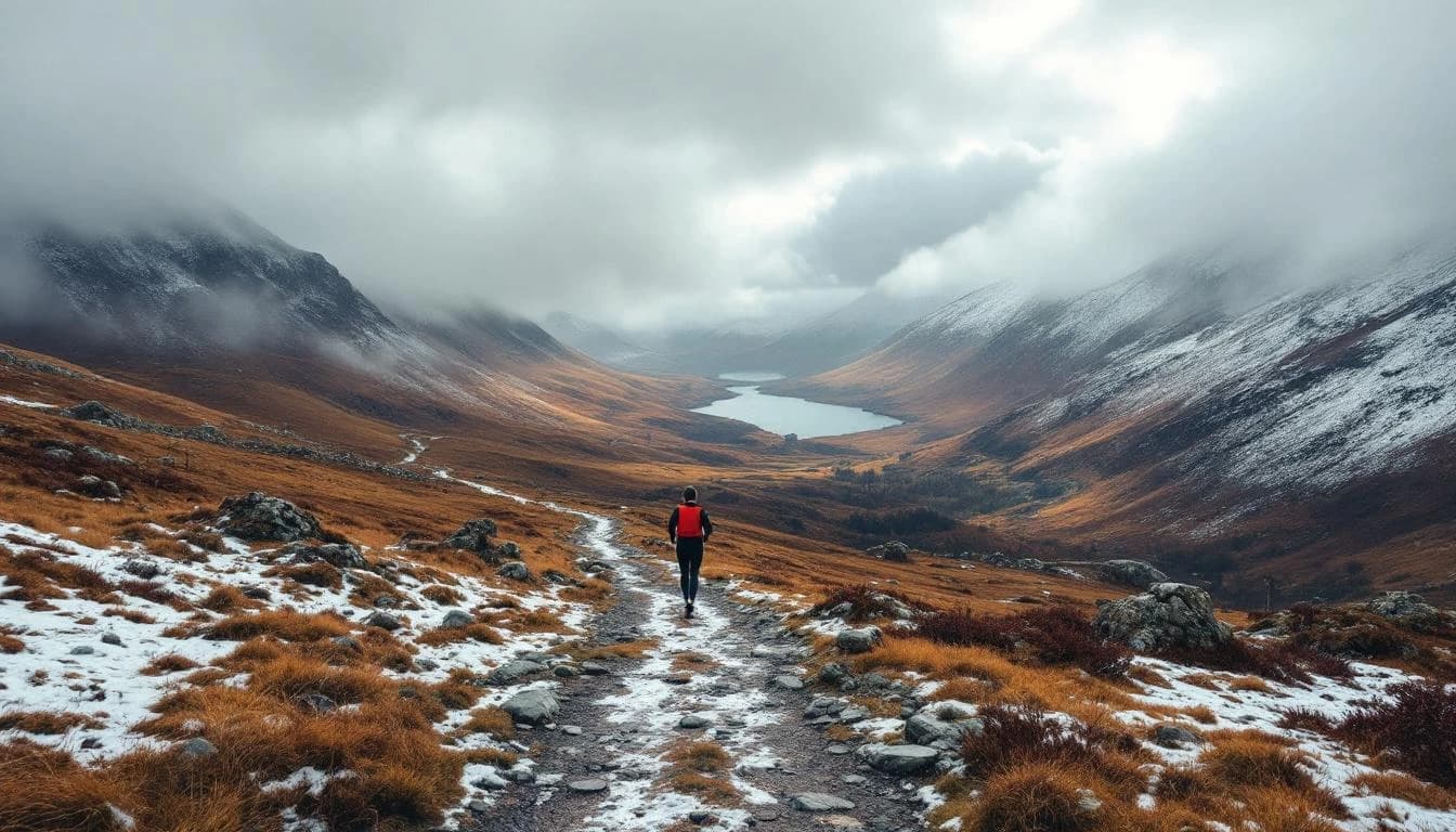
Course Map
Route shown is approximate and for illustration purposes.
Practical Info
May weather in the Lake District can be highly variable, with potential for sun, rain, wind, and even snow at higher elevations
MAN - Manchester Airport
Great Langdale offers several hotels and guesthouses, with additional options in nearby Ambleside and Grasmere
Best For
Notable Features
The Old County Tops offers runners the unique challenge of choosing their own route between three major Lake District summits, combining physical endurance with advanced navigation skills. The race's flexible distance and elevation - dependent on route choice - makes it as much a strategic challenge as a physical one, with the reward of traversing some of England's most iconic mountain terrain.