Trail running course near Tenerife, Canary Islands, ES
Tenerife Bluetrail by UTMB

Tenerife Bluetrail by UTMB 47K

47K·Tenerife, Spain
ultra50kmountainhigh altitudetechnicaltrailcoastal

AI-generated image

Distance47K
DateMar 2026
Difficulty4/5

About This Race

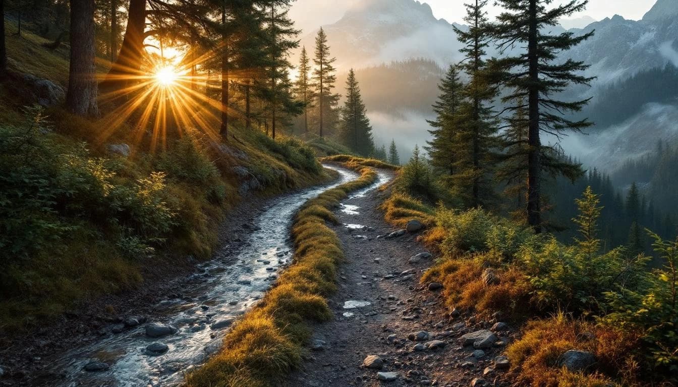
The 47K course at Tenerife Bluetrail offers runners a substantial introduction to the island's volcanic mountain terrain. Part of the UTMB World Series, this distance shares the initial route with the longer 73K and 110K variants before reaching its own finish point, allowing participants to experience Teide National Park's distinctive landscapes without committing to the extreme demands of the ultra distances. The March timing places runners on the mountain during one of Tenerife's most stable weather windows. The route climbs through Canarian pine forests and across volcanic terrain characteristic of this Atlantic island. Runners traverse paths formed by centuries of volcanic activity, with opportunities to witness the sea of clouds phenomenon that frequently develops below the mountain's mid-elevation zones. The technical volcanic surfaces demand focused footwork and appropriate trail shoes. This distance suits runners comfortable beyond marathon distance who want to test themselves on technical mountain terrain. It serves both as a standalone challenge for those seeking a demanding single-day mountain race and as a progression step for runners building toward longer UTMB events.

The course begins in lower elevation zones before climbing into Teide National Park, covering technical volcanic terrain that includes pine forest sections and exposed volcanic paths. The route's volcanic rock surfaces require careful foot placement. Runners should prepare for technical footing throughout, with the terrain varying from forested trails to open volcanic landscapes as elevation increases.

Location

Practical Info

Weather

March typically brings mild temperatures at lower elevations with cooler conditions higher on the mountain. Conditions can vary significantly with elevation gain. Wind exposure possible on exposed sections.

Nearest Airport

TFS - Tenerife South Airport

Accommodation

Tenerife offers extensive lodging options ranging from coastal resorts to mountain accommodations. Proximity to Teide National Park access points varies by location. Early booking recommended during the race period.

Best For

experienced trail runnersmountain runnersultra runners

Other Distances at This Event

3.5K

760m gain

This intense vertical challenge takes place under darkness, combining steep volcanic terrain with the unique experience of night mountain running. The compact distance packs significant elevation gain into a short but demanding climb.

24K

The route keeps to Tenerife's mid-elevation terrain, moving between coastal scrubland and the island's characteristic pine forests. Volcanic rock dominates the surface—black lava formations, embedded pumice, and weathered basalt require continuous focus. Forest sections bring shade and pine needle coverage, though roots and embedded rocks maintain the technical demand throughout.

47K Relay

The relay covers a 47-kilometer section of the Bluetrail course across Tenerife's volcanic terrain. Teams encounter the same technical challenges that define the island's trails: sharp volcanic rock underfoot, exposed ridgelines with Atlantic views, and transitions between coastal sections and higher elevations. Handoff points are positioned at accessible locations, though support crews should anticipate the logistical complexity of moving between exchanges on an island where roads don't always follow the most direct routes.

73K

The route begins near sea level before ascending through established trails in the pine forests that characterize Tenerife's mid-elevation zones. As runners climb, the vegetation thins and the volcanic geology becomes increasingly dramatic, with views extending across the island and out to neighboring peaks when weather permits. The technical demands intensify in the upper sections, where the trail traverses lava fields and volcanic ridges that require focused navigation and sure footing on uneven, abrasive surfaces.

110K

The course begins in coastal Tenerife before ascending through the island's geological layers. Runners navigate technical volcanic trails that transition from forested switchbacks to exposed high-altitude terrain. The summit approach to Teide crosses a stark volcanic landscape of pumice and hardened lava flows, where thin air and exposure test both physical conditioning and mental resolve. The descent retraces much of the ascent route, requiring careful footwork on technical sections that become more challenging as fatigue accumulates.