Trail running course through mixed terrain in Provence-Alpes-Côte d'Azur, FR
Nice Côte d'Azur by UTMB

Nice Côte d'Azur by UTMB 23K

23K·680m gain·Nice, France
mountaintechnicaltrailcoastalqualifier

AI-generated image

Distance23K
Gain680m
Date25 Sep 2026
Difficulty2/5

About This Race

The 23K serves as the perfect introduction to the Nice Côte d'Azur trail experience, offering runners a taste of the region's signature terrain without the extended commitment of the longer distances. This distance captures the essence of Mediterranean trail running through a concentrated route that balances technical mountain sections with coastal beauty, making it ideal for runners stepping up from road racing or those seeking a challenging but manageable trail adventure. The shorter format allows for a more aggressive pace while still experiencing the diverse landscapes that define this corner of the French Riviera.

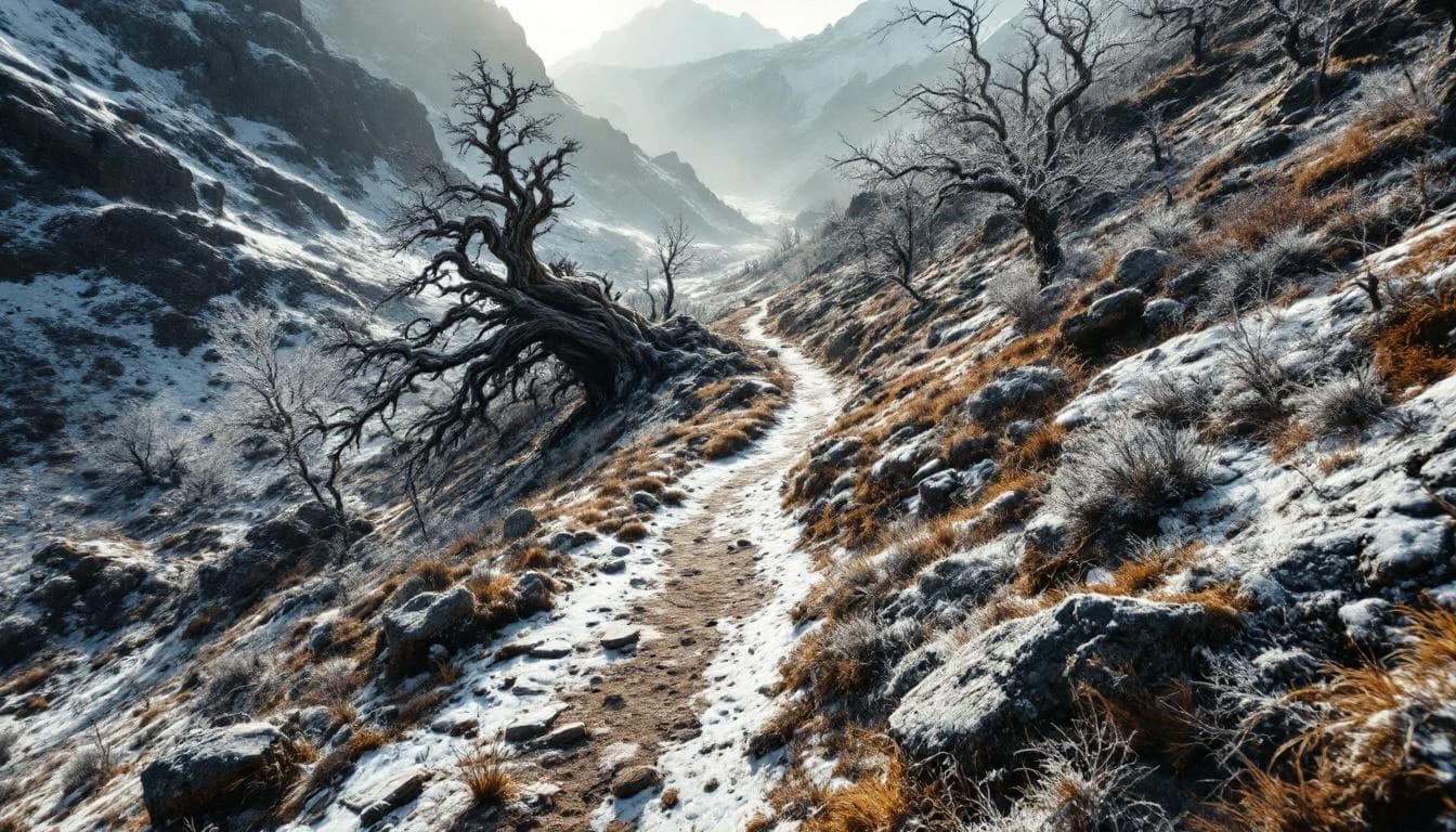
Starting from the exclusive peninsula of Saint-Jean-Cap-Ferrat, this 23-kilometer route showcases the coastal beauty of the French Riviera. With 680 meters of elevation gain, it provides a scenic introduction to Mediterranean trail running and awards 1 Running Stone.

Elevation Profile

Elevation profile estimated from terrain data. Actual course may differ.

The course gains 680m over 23km, with the steepest section between km 0–km 0.

Location

Practical Info

Nearest Airport

NCE - Nice Côte d'Azur Airport

Best For

experienced_ultrarunnersmountain_runnersscenic_seekers

Notable Features

As part of the UTMB World Series, this event offers runners the opportunity to earn Running Stones points toward qualification for the iconic UTMB Mont-Blanc. The race uniquely combines mountain trail running with Mediterranean coastal scenery, taking place in one of Europe's most celebrated destinations. The event also features charity bibs and aims to build a passionate international running community.

Other Distances at This Event

50K

604m gain

The route weaves between Nice's urban edges and the lower Maritime Alps, utilizing a network of coastal sentiers and inland trails that have connected these communities for generations. Runners transition repeatedly between Mediterranean vegetation zones and higher-elevation pine forest, with the terrain shifting from hard-packed coastal paths to rockier mountain single-track. The exact routing and elevation profile vary by edition, so consult the current year's race materials for specific course details and aid station locations.

109K

1,690m gain

Starting from Nice, the 109K route heads into the Maritime Alps, following a point-to-point or loop configuration that showcases the region's varied topography. The course connects villages and mountain refuges through trail networks that have served local shepherds and hikers for generations, now maintained as part of the extensive Grande Randonnée system. Technical sections require attention to footing on rocky descents, while the mixed terrain allows for rhythmic running on smoother passages between the more demanding segments.

165K

1,230m gain

The course traverses the Maritime Alps hinterland behind Nice, linking coastal trails with mountain passes inland. Runners experience the full geographic range of the Alpes-Maritimes département, moving through Mediterranean vegetation at lower elevations before entering alpine terrain. The route demands technical proficiency on varied surfaces, from coastal paths to mountain trails, with night running typically required for most finishers.