About This Race
The Monte Rosa Walserwaeg by UTMB 82K follows ancient trading routes through the Aosta Valley, connecting Walser communities that have maintained their Germanic linguistic and cultural identity for over 700 years. At just over 50 miles, this distance sits in the middle of the event's three-race format, offering experienced mountain runners a full day in the high Alps without the extreme demands of the 120K. The race passes through stone villages where traditional wooden architecture and terraced hay meadows have remained largely unchanged for centuries. Runners traverse a landscape shaped by glacial valleys and high alpine pastures, where the Monte Rosa massif dominates the southern skyline. The route links settlements like Gressoney-La-Trinité and Alagna Valsesia, following paths that were once the only connections between these isolated mountain communities. This is technical mountain terrain that requires solid scrambling ability and navigation skills, though the course remains on established trails throughout. The 82K draws runners looking for a serious alpine ultra without stepping up to the hundred-mile distance. It provides enough time in the mountains to experience the unique Walser culture while maintaining forward progress through demanding terrain. The race typically runs in mid-July, when snowmelt has cleared the higher passes but temperatures remain moderate for sustained mountain effort.
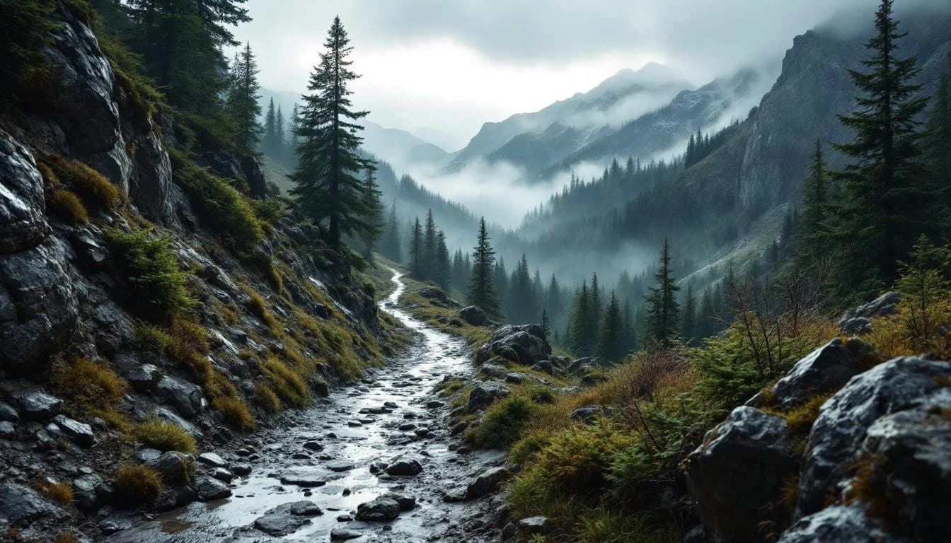
The course follows the historic Walserwaeg trail network through the Lys and Sesia valleys on the Italian side of the Monte Rosa massif. Runners move between traditional Walser villages via ancient mule tracks and high mountain passes, with the route maintaining a strong connection to the cultural landscape rather than simply seeking out the highest or most technical terrain. Trail conditions vary from well-maintained footpaths through villages to rougher alpine sections where rocky terrain and potential snow patches require careful footing and pace management.
Elevation Profile
The course gains 5,788m over 82km, with the steepest section between km 36–km 36.
Course Map
Route shown is approximate and for illustration purposes.
Practical Info
Mid-July typically brings stable alpine weather with daytime temperatures ranging from 15-25°C (59-77°F) in valleys and significantly cooler at higher elevations, though afternoon thunderstorms remain possible in the mountains.
The race is based in Gressoney-La-Trinité, a small alpine resort with limited lodging capacity. Early booking is essential, particularly for UTMB series events which attract international fields. Additional accommodation options exist in nearby valley towns.
Best For
Notable Features
The race's routing through centuries-old Walser communities provides unusual cultural depth for an alpine ultra. These German-speaking settlements in Italian valleys maintain distinct architectural traditions and agricultural practices, offering runners a living connection to medieval alpine migration patterns. The Monte Rosa backdrop and high valley setting create an alpine environment that feels remote despite the presence of these historic villages.