About This Race
A 30 miles mixed-terrain run, Glenelg, Scotland.
Elevation Profile
Elevation profile estimated from terrain data. Actual course may differ.
The course gains 559m over 48km, with the steepest section between km 82–km 82.
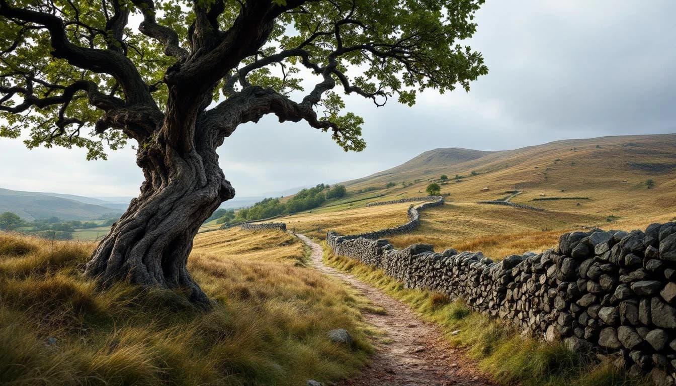
Location
Practical Info
Variable Highland conditions requiring preparation for rain, wind, and midges during summer months.
INV - Inverness Airport
Glenelg Village Hall offers coin-operated showers. Camping available at Shiel Bridge Camp Site along the route.
- OS Explorer Map 413 or OS Landranger Map 33
- waterproof clothing
- sunblock
- midge repellent
Best For
Notable Features
The course passes world-famous Eilean Donan castle, ancient Iron Age brochs including Caisteal Grugaig, and offers stunning views across to the Isle of Skye. The route includes a ride on the historic Skye Ferry and climbs to the highest point at Loch Coire nan Crogachan, combining Highland wilderness with Scottish heritage sites.