About This Race
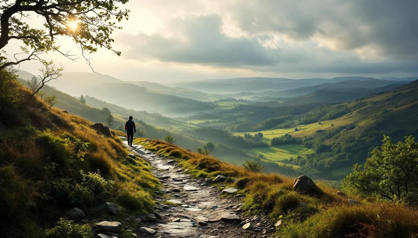
The full 100-kilometer circumnavigation offers runners a complete circuit of Leeds with approximately 80% trail and 20% road surfaces. Five checkpoints provide support and navigation verification along the route, with weather conditions significantly affecting underfoot terrain throughout the varied countryside sections.
The full 100-kilometer circumnavigation offers runners a complete circuit of Leeds with approximately 80% trail and 20% road surfaces. Five checkpoints provide support and navigation verification along the route, with weather conditions significantly affecting underfoot terrain throughout the varied countryside sections.
Elevation Profile
The course gains 355m over 100km, with the steepest section between km 84–km 84.
Course Map
Route shown is approximate and for illustration purposes.
Practical Info
Variable British weather conditions that can drastically change underfoot trail conditions
LBA - Leeds Bradford Airport
The race alternates start venues between years, with even years starting from St John's Community Church in Greengates and odd years from Miners Welfare Hall in Garforth
- Phone or watch with GPX map
- Headtorch
- Waterproof jacket
- Warm hat or wrap
- 1 liter water capacity
Best For
Notable Features
This event offers a unique urban-rural hybrid experience, circling one of England's major cities while maintaining an 80% trail composition. The route alternates start venues between even and odd years, and features five strategically placed checkpoints with drop bag services at the halfway point.