About This Race
The 10K offers an accessible introduction to Knickerbocker Canyon's trail network while still delivering a satisfying challenge over 6.2 miles. This distance allows newer trail runners to experience technical terrain without overwhelming distance commitments. The course provides enough variety to showcase the area's natural features while remaining manageable for those building trail-specific fitness.
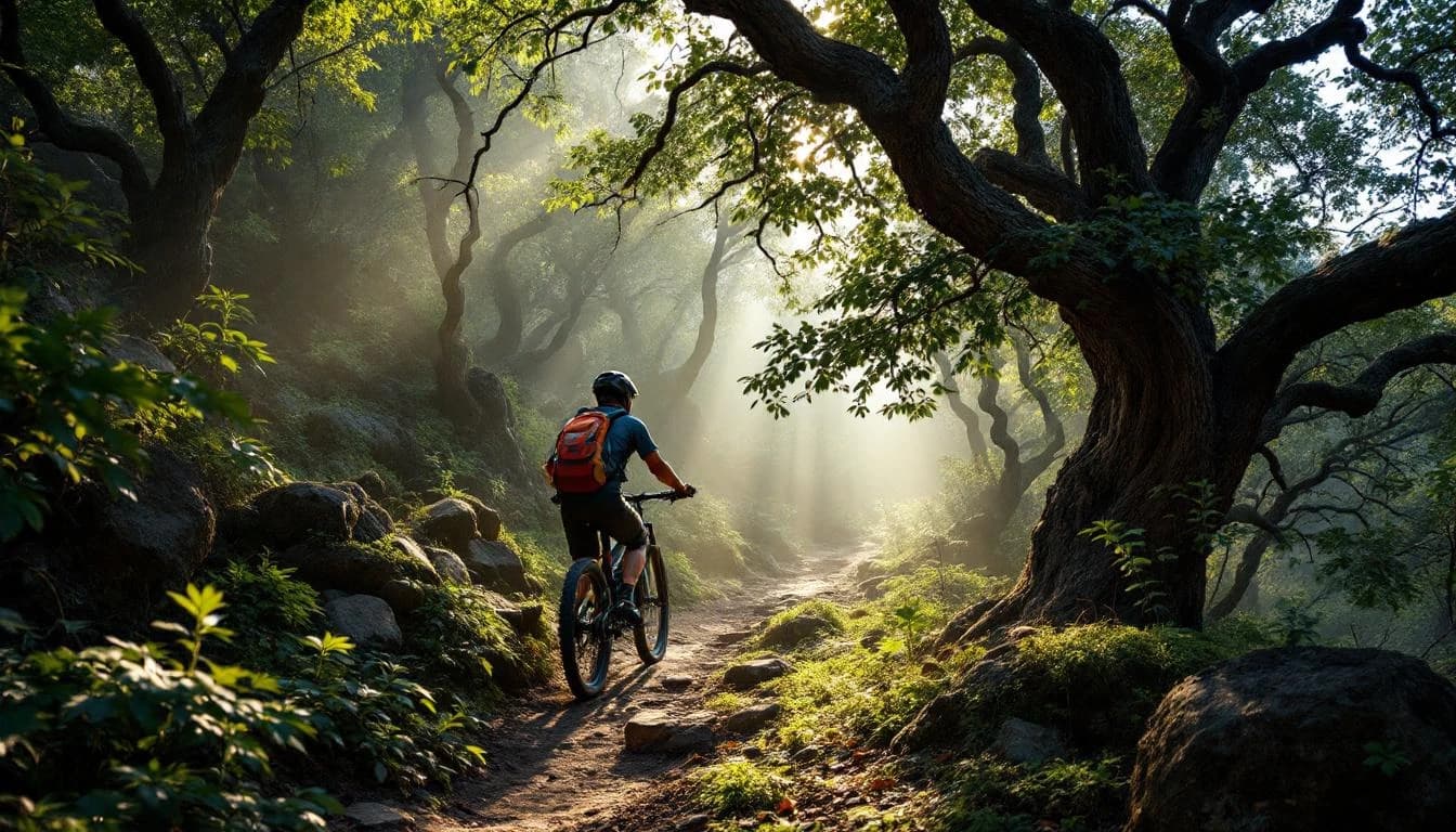
The courses wind through the canyon and ridge systems characteristic of Northern California's transition zone between valley floor and true mountains. Runners encounter a varied terrain palette of oak woodlands, chaparral-covered slopes, and seasonal creek crossings. The single-track sections demand technical attention, with roots, rocks, and quick elevation changes requiring focused footwork.
The longer distances incorporate significant climbing that rewards runners with expansive views across the surrounding valleys before plunging back into shaded canyon sections. Fire road segments provide opportunities to open up the stride and make time, while the single-track portions keep runners honest with their pacing strategy.
Elevation Profile
The course gains 4,465 ft over 6 miles, with the steepest section between mile 14–mile 14.
Course Map
Route based on official course data.
Practical Info
Late March typically brings mild temperatures with highs in the 60s-70s Fahrenheit, with potential for morning fog and afternoon sunshine.
SMF - Sacramento International Airport
Runners typically stay in nearby Fairfield or Vacaville, both within 30 minutes of the race start.
Best For
Notable Features
The race's multi-distance format makes it ideal for training groups and families, allowing runners of different abilities to share the same event experience. The course design skillfully uses the natural canyon and ridge topography to create distinct challenges for each distance while maintaining the same high-quality trail experience throughout.