About This Race
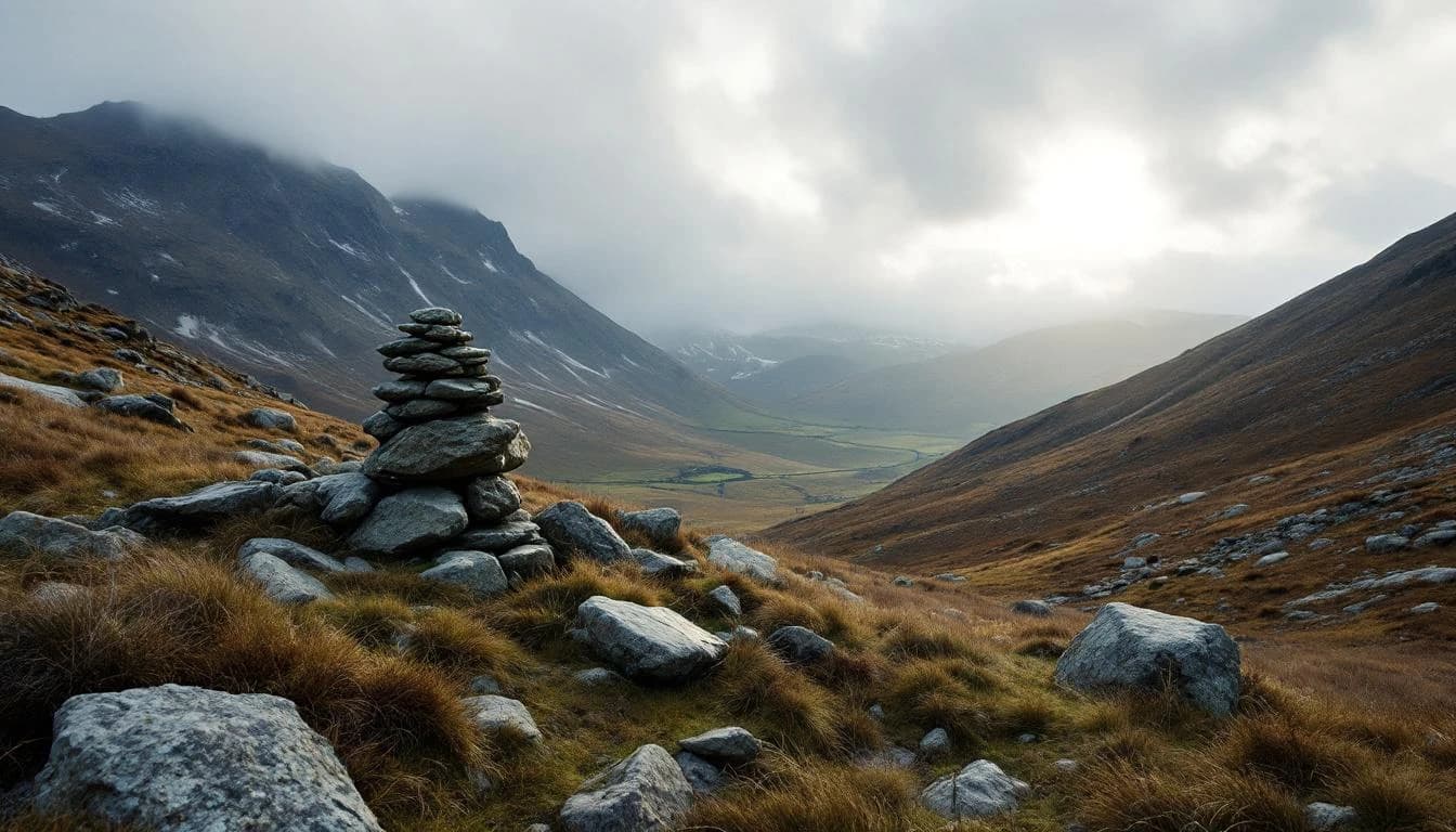
The full challenge covers 31 miles through varied countryside terrain with five checkpoint stops providing food, drink, and route verification. This distance demands solid navigation skills and endurance, with many participants requiring significantly more time than equivalent road distances.
The full challenge covers 31 miles through varied countryside terrain with five checkpoint stops providing food, drink, and route verification. This distance demands solid navigation skills and endurance, with many participants requiring significantly more time than equivalent road distances.
Elevation Profile
Elevation profile estimated from terrain data. Actual course may differ.
The course gains 110m over 50km, with the steepest section between km 75–km 75.
Location
Practical Info
October conditions in southeastern England typically feature cool temperatures, potential rain, and muddy trail conditions requiring appropriate footwear and weatherproof clothing.
LGW - London Gatwick Airport
Edenbridge offers local accommodation options, with London easily accessible by train for additional lodging choices.
- checkpoint card
- torch/headlamp for early starters
Best For
Notable Features
This challenge walk emphasizes navigation skills with detailed written route descriptions, What3words locations, and magnetic bearings provided to each participant. The route changes annually, showcasing different sections of the Kent, Surrey, and Sussex countryside while maintaining the core challenge of self-guided navigation over rural footpaths and tracks.