About This Race
Covering 100 miles of mixed terrain, Harwich, Suffolk.
Elevation Profile
Elevation profile estimated from terrain data. Actual course may differ.
The course gains 174m over 161km, with the steepest section between km 0–km 1.
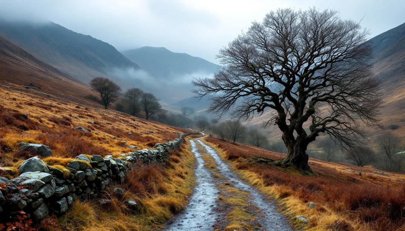
Location
Practical Info
Weather
Generally favorable conditions in one of Britain's driest regions
Nearest Airport
STN - London Stansted Airport
Accommodation
Overnight bunk accommodation available at 1912 Centre Harwich if booked
Required Gear
- map and compass
- GPS unit
- mandatory safety kit
Best For
ultra runnerswalkerscoastal scenery enthusiasts
Notable Features
This coastal ultra circumnavigates five estuaries through Areas of Outstanding Natural Beauty, following well-established long-distance footpaths with comprehensive GPS tracking and regular support stops. The event gives back to local conservation efforts, donating a portion of entry fees to the River Stour Trust.