About This Race
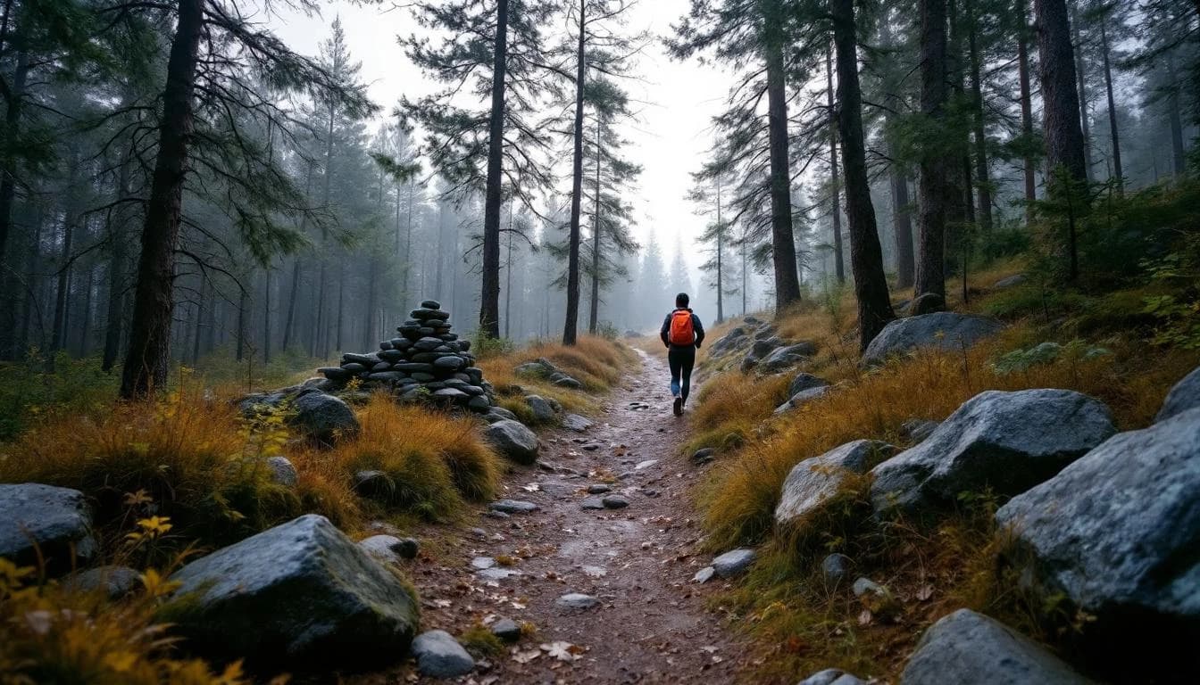
The 14K route follows the classic Edsvidsleden hiking trail, starting and finishing at Forngården. The course is marked as a hiking trail and partially cleared for the race, with one hydration station positioned at approximately 9 kilometers.
The 14K route follows the classic Edsvidsleden hiking trail, starting and finishing at Forngården. The course is marked as a hiking trail and partially cleared for the race, with one hydration station positioned at approximately 9 kilometers.
Elevation Profile
The course gains 77m over 14km, with the steepest section between km 27–km 27.
Course Map
Route shown is approximate and for illustration purposes.
Practical Info
March conditions in western Sweden typically feature cool temperatures, possible snow or rain, and variable trail conditions.
GOT - Gothenburg Landvetter Airport
Trollhättan offers various accommodation options, with parking available on streets in Strömslund or at Torsbovallen rather than at the start line.
- water_bottle
- cup
Best For
Notable Features
The race follows the historic Edsvidsleden trail system, a well-established hiking route that showcases the natural beauty of the Trollhättan area. Runners are encouraged to bring their own cups for hydration stations, reflecting the event's environmental consciousness.