About This Race
The 8-mile distance opens the festival to recreational runners and those new to trail running, providing a welcoming introduction to off-road racing. This shorter loop allows runners to focus on enjoying the forest setting and festival atmosphere without the pressure of extreme distance. The course suits runners looking for a morning adventure that leaves energy for post-race socializing.
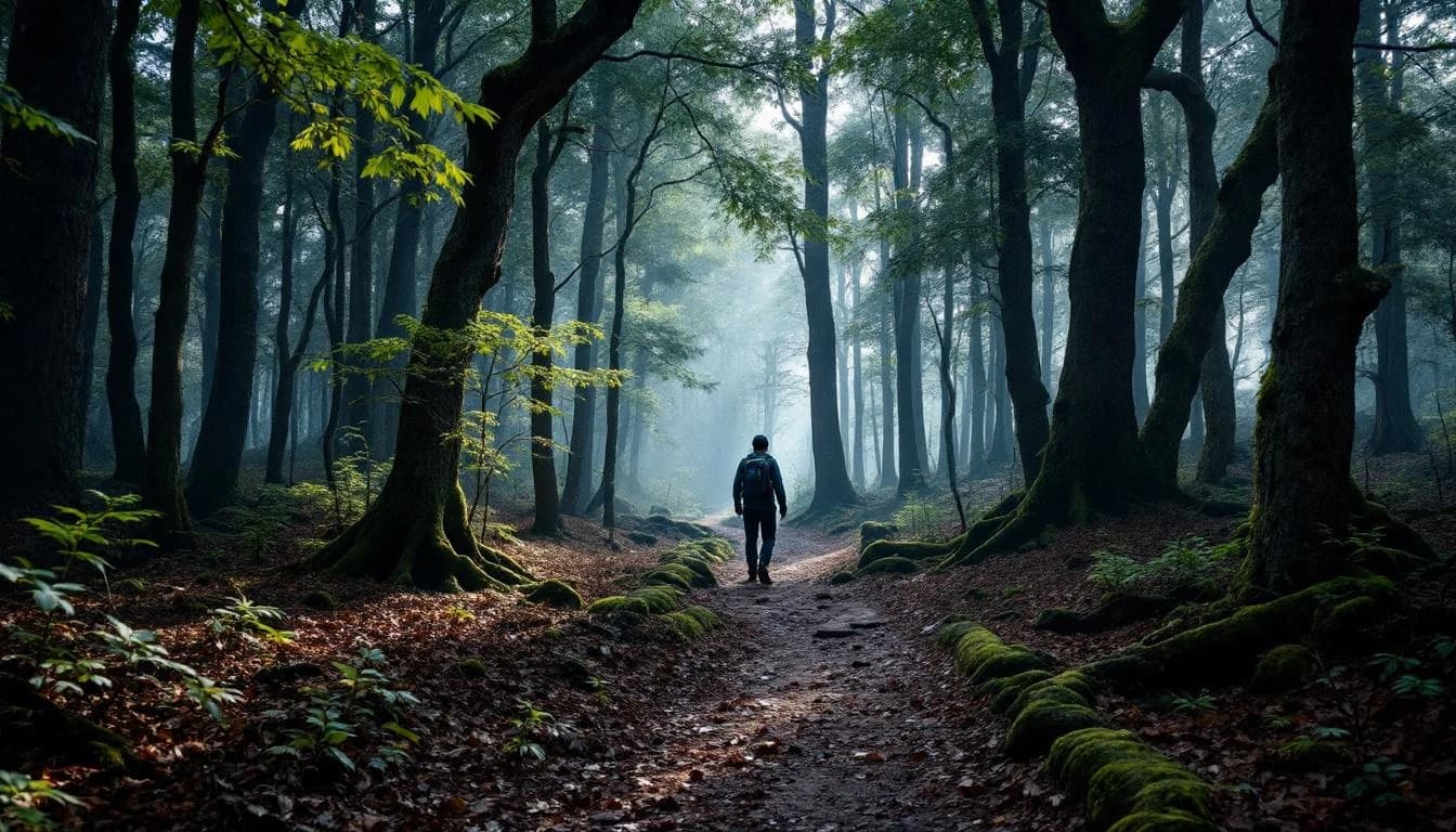
The courses wind through the Cohutta Mountains' diverse terrain, featuring substantial mountain climbing followed by technical downhill sections that reward skilled descenders. Runners navigate singletrack trails through dense forest, cross multiple creeks, and encounter significant elevation changes throughout the routes. The terrain is characteristic of the Lower Appalachians, with rocky, technical sections mixed with flowing trail segments.
Key features include creek crossings that can become challenging during wet conditions, exposed ridgeline sections with panoramic mountain views, and the notable Georgia's largest tulip poplar tree. The courses showcase the full spectrum of Cohutta wilderness, from steep climbs to rolling forest floor to technical rocky descents.
Elevation Profile
Elevation profile estimated from terrain data. Actual course may differ.
The course gains 587 ft over 8 miles, with the steepest section between mile 12–mile 12.
Location
Practical Info
Mulberry Gap Adventure Basecamp offers campsites and cabins near the race area with shuttle services to the start/finish. Reservations must be made directly with the basecamp.
Best For
Notable Features
The festival format allows runners to experience the full spectrum of Cohutta wilderness over two days, from evening racing to dawn-to-dusk mountain adventures. The proximity to Georgia's largest tulip poplar tree and the emphasis on exploration over pure racing create a unique blend of challenge and natural appreciation. The grassroots organization maintains an intimate community atmosphere while accessing some of the Southeast's most pristine mountain terrain.